angler
Guest
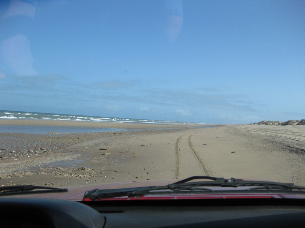
Thanks Roberto. I moved those markers, did I move them to the right place?What someone marked as Estero La Pinta parking and fishing on the map is inaccurate. The site marked is San Jorge. Follow the beach up into the estuary you will see one structure where a road ends. That is Gillespie's old abandoned hacienda and the road in from the highway. Notice how there is a narrow channel along the beach on the map. There is a real good flow there as the tide changes. That's where you will come in to using the earlier directions of the abandoned house and the place to fish from, not San Jorge. There is or was a gate at the entrance to San Jorge and people living in a house at the entrance. There are a lot more houses there and that big old complex that they used to run the boat tours out of. The belly dancers ! Couldn't figure out how to fix it.
Thanks to the others that identified the spit.


