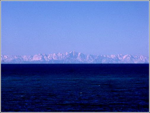
You are actually seeing the mountains on Baja which are 10-12,000 ft high. I thought Baja was only 70ish miles away.
During the winter you can see snow covering them if a strong cold front comes far enough south.
Attached is a photo, Gill Panasewicz took from Cholla Bay this past winter.
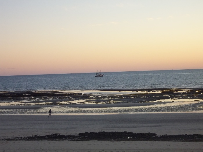
That line of mountains that you often see on the western horizon at sunset (and on really clear days) is Sierra San Pedro Martír - the highest mountain range in Baja.
All the pictures and stories about Baja being a dry, dusty barren desert only tell MOST of the story- the San Pedro mountains are very reminiscent of the San Jacinto or San Gabriel mountains in Southern California- jagged, and capped with Pine forests.
Back in the pre-GPS and Pre-LoranC days of ocean navigation, to get from RP to San Felipe (82 miles) you would point your boat at the tallest peak and run straight at it.
Another personal experience that I found interesting -
On my first fishing trip out to the RP 51 mile reef, I was expecting to feel like I do when I am 50 miles offshore from San Diego (meaning there's nothing but water in any direction). The 51 is literally smack dab in the center of the widest part of the Sea of Cortez, and yet even out there, you can see Baja to the west, Isla De la Guarda to the south, the Sierra Madres to the East, and on a really clear day you can still see the top of Pinacate to the north.
So, even when you are far offshore in the SOC, you are still reminded that it is really a very long, skinny sea.
never been to San Felipe... does not seem as easy to get to as Rocky Point.
Never knew about this Sierra San Pedro Martír. Here is a link for those that are curious like me.