gps
- Thread starter Jim Bob
- Start date
Mexico Joe
Cholla Bay 4 Life
This has to be Happycan anyone recomend a handheld gps in the 200.00 or under range that is not something that will not last a friend has a garmin76 he has had it for a few years with no problems and is easy to learn to use
Kenny
Guest
My favorie bit was when Jim Bob saidThis has to be Happy
in his first or second post..LOL"My brother Bob and i"
jerry
Guest
i think he was referring to his mothers brother Joe Bob or his prison Ayran brother Adolf Joe BobMy favorie bit was when Jim Bob saidin his first or second post..LOL
Hard to beat the Garmin76. Their color unit has price dropped to under $200. Plus, you can upload and download waypoints and tracks to your computer (Bluecharts program).can anyone recomend a handheld gps in the 200.00 or under range that is not something that will not last a friend has a garmin76 he has had it for a few years with no problems and is easy to learn to use
I looked for a GPS with mapping capability last summer and found there is limited availability of topo software for Mexico. I had wanted it in case I got lost or turned around between Rocky Point and San Carlos, figuring that's not a great region to be wondering whether you're on the right road. Sportsman's Warehouse didn't have Mexican topo software for the Etrex. Maybe someone else does and I just didn't look hard enough.
Last edited:
Roberto
Guest
There are a number of RV forums that I have read some chatter about Mexico GPS maps. I'm starting to explore that too, but most of the time I don't care about exactly where I am !! Would be useful to document exactly were you HAD been though. Mexico Rv ForumsI looked for a GPS with mapping capability last summer and found there is limited availability of topo software for Mexico. I had wanted it in case I got lost or turned around between Rocky Point and San Carlos, figuring that's not a great region to be wondering whether you're on the right road. Sportsman's Warehouse didn't have Mexican topo software for the Etrex. Maybe someone else does and I just didn't look hard enough.
Here's another one too Mexico Expat Forum for Expats Living in Mexico - Expat Forum For People Moving Overseas And Living Abroad
jerry
Guest
https://itunes.apple.com/us/app/navfree-gps-live-mexico/id434219137?mt=8 an iphone and "Bob's your uncle" as the Aussies say
Jim Bob
User is currently banned
thanks for the information the 76 and 76cx are now discontinued items called west marine they told me that their store in utah has five phoenix has one not 179.00 but 199.99 for 76cx also color unit so i will have one sentHard to beat the Garmin76. Their color unit has price dropped to under $200. Plus, you can upload and download waypoints and tracks to your computer (Bluecharts program).
Mexico Joe
Cholla Bay 4 Life
thanks for the information the 76 and 76cx are now discontinued items called west marine they told me that their store in utah has five phoenix has one not 179.00 but 199.99 for 76cx also color unit so i will have one sent
If you dont want to spend a lot I wouldn't go Garmin. Most of the Garmin handheld units come with just a base map. Most map packs are $80 to $100. I think someone else mentioned, no Mexico topo maps. I've been using this app for my phone and it blows a Garmin handheld out of the water and for only $10!! You can buy more topo mapping for additional charges. The GPS app works with or WITHOUT cell signal. It doesnt bounce from a cell tower it enables the GPS on your phone to bounce satellite. The app works when you have absolutely no cell service and therefor works in Mexico. The only thing you have to do is before going out you have to download map tiles so the app can work offline. Track recording, compass, waypoint mapping, and a ton more. It is basically a $300 app in my opinion.
BackCountry Navigator
Interesting app! Problem with basically ALL of the data maps for the northern Sea of Cortez area is that it was based on a survey done in 1957 or so and never updated.
Do you know how accurate the resolution is on that app? I know my Garmin can put me within like a 10 ft. range when I zoom in on a waypoint (reef). Then it's just a matter of using my sounder for positioning. I'd also be leery of battery usage on the cell phone. I can use the Garmin for days on a set of batteries, but my Droid phone seems to drain quickly when using apps. Still, might be fun to download and play with as a back-up app for the $10.
Do you know how accurate the resolution is on that app? I know my Garmin can put me within like a 10 ft. range when I zoom in on a waypoint (reef). Then it's just a matter of using my sounder for positioning. I'd also be leery of battery usage on the cell phone. I can use the Garmin for days on a set of batteries, but my Droid phone seems to drain quickly when using apps. Still, might be fun to download and play with as a back-up app for the $10.
Jim Bob
User is currently banned
picked up a gpsmap 76cx my part was 100.00 so not to bad came with trip & waypoint manager disc for putting waypoints maps routes tracks into computer has worldwide basemap provides basic cartography including interstates motorways oceans and other general referance detail map displays political boundries what ever that means principal cities and towns and other thinhs so now i have some reading to do i think the first thing is to put disc into computer and then go from there
Last edited:
Mexico Joe
Cholla Bay 4 Life
Interesting app! Problem with basically ALL of the data maps for the northern Sea of Cortez area is that it was based on a survey done in 1957 or so and never updated.
Do you know how accurate the resolution is on that app? I know my Garmin can put me within like a 10 ft. range when I zoom in on a waypoint (reef). Then it's just a matter of using my sounder for positioning. I'd also be leery of battery usage on the cell phone. I can use the Garmin for days on a set of batteries, but my Droid phone seems to drain quickly when using apps. Still, might be fun to download and play with as a back-up app for the $10.
Fortunately for me and unfortunately for all of you Apple crack users this app is ANDROID only. Stuart I believe the GPS is accurate to 3 meters. If you want to try it out before buying there is the lite version which is free for a select amount of time and then it will prompt you to buy. For $10 it is well worth it. As for battery life, any app that uses the GPS will suck a lot of energy out of the battery. I originally installed the app on a outdated DROID 2 and it worked fine however with the app running it will suck a full battery in less than 3 hours. There were also issues with map tiles sometimes not loading and having to restart the program but I believe this was all due to the fact that I was using an outdated Droid with an outdated OS. I have since upgraded to the Galaxy S3 and paired with the bigger screen, up to date and faster OS and better battery life this app is working perfectly. The app doesnt have to be left running at all times which will save battery life. Open the app find your waypoint and heading, close the app and then when you get close to the desired waypoint reopen the app and the GPS will fix your location. Obviously the newer your phone the better this app is going to work. Like I mentioned before, as long as you have pre-downloaded map tiles of the area you're going to be in the app doesnt need cell service or data usage making it a real and ideal GPS for hunting, off roading, fishing, backpacking and YES, MEXICO. I have read some of the customer feed back and it seems a lot of the off road truck guys are using this app for prerunning in Mexico and would like a Mexico map pack. I wouldnt doubt that update will be coming soon. As of right now to see anything in Mexico Im using US Cycle Map and it even shows SANTO TOMAS on the map!
Mexico Joe
Cholla Bay 4 Life
Santo Tomas
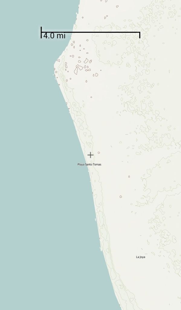
Coastal Highway near Santo Tomas
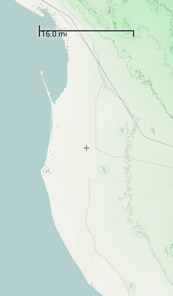
Coastal Highway south to Puerto Lobos

Rocky Point
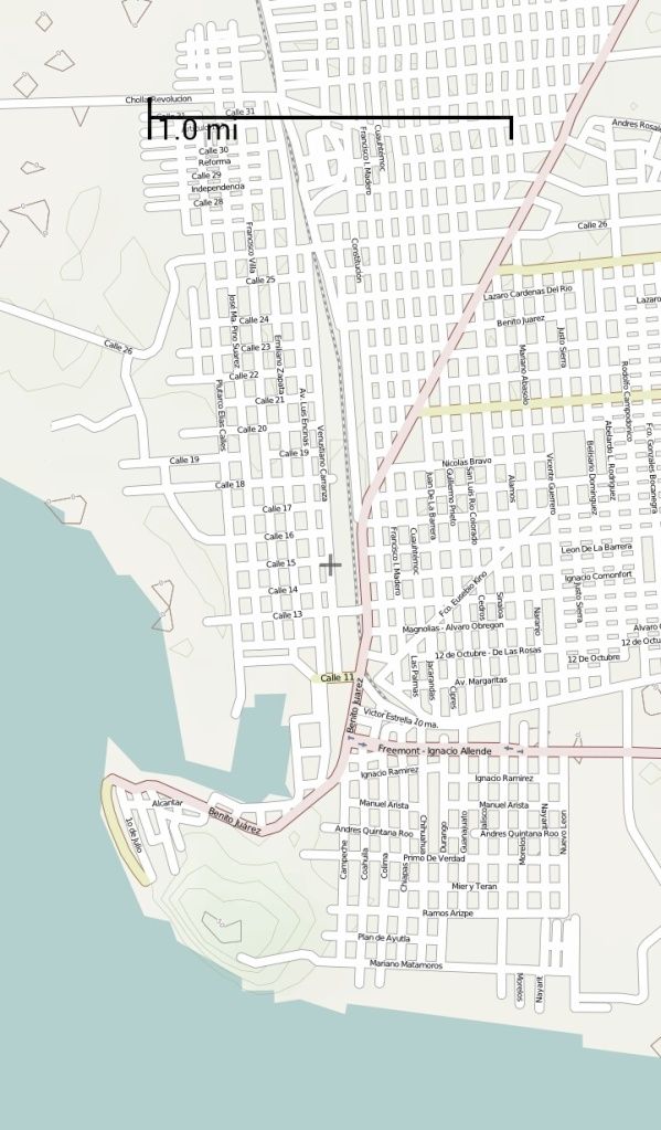
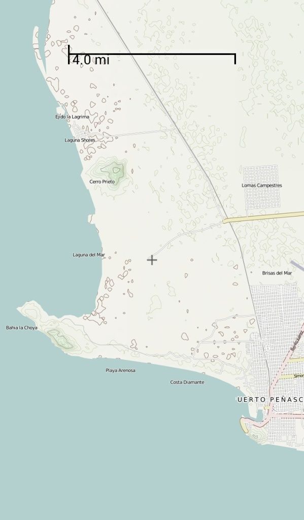
Cholla Bay and Laguna Shores

Coastal Highway near Santo Tomas

Coastal Highway south to Puerto Lobos

Rocky Point

Cholla Bay and Laguna Shores

Mexico Joe
Cholla Bay 4 Life
GPS Satellite View
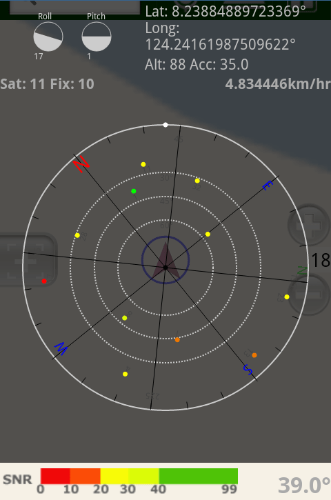
This is a screenshot from their website but I turned mine on a minute ago and was bouncing 22 Satellites and had a fix on 14.

This is a screenshot from their website but I turned mine on a minute ago and was bouncing 22 Satellites and had a fix on 14.
cholla
Guest
Holy Punctuation Batmanpicked up a gpsmap 76cx my part was 100.00 so not to bad came with trip & waypoint manager disc for putting waypoints maps routes tracks into computer has worldwide basemap provides basic cartography including interstates motorways oceans and other general referance detail map displays political boundries what ever that means principal cities and towns and other thinhs so now i have some reading to do i think the first thing is to put disc into computer and then go from there
How do you read that stuff?
Jim Bob
User is currently banned
takes a little practice i look at a gps as if it is a califonia map or any other map i'll be putting this in car when we travel break down turn it on theres your location call 911 give cordinates help is on the way no matter where you areHoly Punctuation Batman
How do you read that stuff?


