Is Caborca Highway Open after the rain a couple weeks ago?
Is the road to Luna Blanco, and Encanto Living open?
Started by Claudette · Oct 21, 2018 · 10 replies
The Caborca road is open at least as far as the Mayan. The water flow across the highway has continued form day to day at various levels. Have friends who golf the Mayan daily who reported this so it is accurate. Have not seen anything about road conditions further South. Hopefully someone else will post about the road to Encanto. Eamage ther was serious. I believe the is an Encanto FB page might check there.
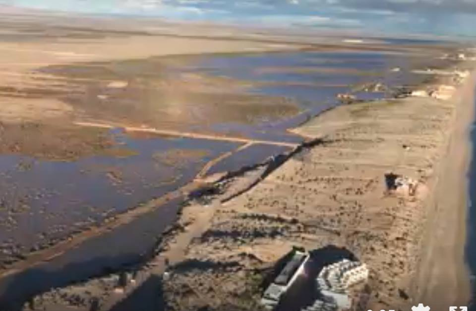
The road to Encanto is still closed due to flooding. It's still wet and muddy to the left
👍 1
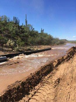
menagers dam located in Ali Chuuk Arizona, , the culprit. They are pumping water out of the reservoir as it is a earthen dam and it ends up at Encanto
👍 1
Really surprising this has not aroused some international interest. All that water from Arizona has caused considerable expense and inconvenience in Mexico over the years. The natural watershed in Arizona is huge and dumps into the Sonoita. View Google Earth and you can see how huge the watershed is. The Sonoita River runs to the West along the border for quite a distance collecting run off from Arizona before it drops down to us .
👍 1
A "dam" person that this water is being pumped into holding ponds...... new news
Roberto said:Really surprising this has not aroused some international interest. All that water from Arizona has caused considerable expense and inconvenience in Mexico over the years. The natural watershed in Arizona is huge and dumps into the Sonoita. View Google Earth and you can see how huge the watershed is. The Sonoita River runs to the West along the border for quite a distance collecting run off from Arizona before it drops down to us .
it happened before you were born and it will happen after you die.....who cares?
I'm surprised Mexico doesn't put a small dam by Nayarit to replenish the aquifer for Penasco
Last edited: Oct 24, 2018 at 7:58 AM
👍 2
To go to Luna Blanca, worst case, take the Mayan road and right before the Mayan parking lot is a guard house. Turn right and drive west along the beach then north of the houses in Miramar. The roads were all driveable and in good shape. Have fun!
👍 1
MIRAMAR said:I'm surprised Mexico doesn't put a small dam by Naya it to replenish the aquifer for Penasco
I also had that thought the other day. Probably not cost effective due to the inconsistency of the flow.
Here's a map of the Sonoyta watershed. http://azbex.com/wp-content/uploads/2014/02/LOC-140228-Map-Santa-Cruz-Wash-Watershed.jpg

👍 1